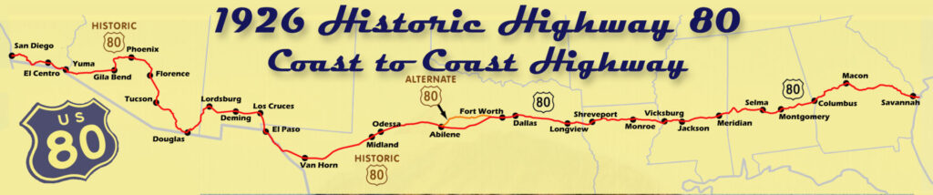
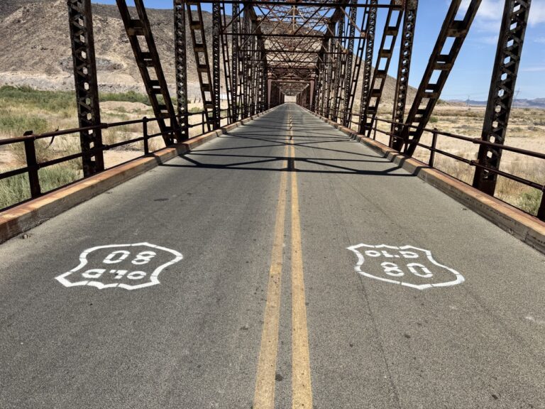
On November 11, 1926, the American Association of State Highway Officials (AASHO) officially established the U.S. Highways numbering system, marking a milestone in American transportation history. Among the original routes were U.S. 80 and its celebrated counterpart, U.S. 66 (Route 66), both recognized as integral parts of a network designed to span the nation. This network of highways would soon crisscross the United States, connecting distant cities and communities and ushering in a new era of mobility.
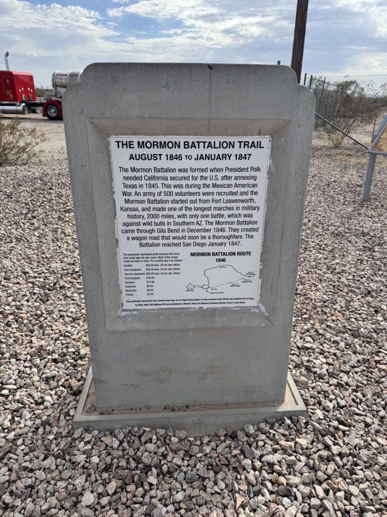
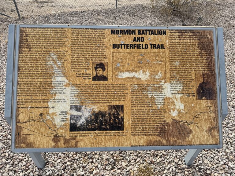
The origins of U.S. 80 in Arizona trace back to the Mexican American War, which according to the Arizona Department of Transportation, included portions of a wagon route carved out by Lt. Col. Philip St. George Cooke and the Mormon Battalion between Santa Fe and San Diego. U.S. 80’s path also loosely followed the historic Butterfield Overland Stage route across Arizona, blending new infrastructure with the trails of the past.
The rise in popularity of automobiles in the early 20th century created a need for improved and standardized roadways. Organizations such as the Automobile Club of Savannah championed the idea of a coast-to-coast highway, hoping to make Savannah, Georgia, the eastern terminus of a year-round transcontinental route. Determining U.S. 80’s precise path became contentious, with multiple cities vying for inclusion. In California, competition for the western terminus sparked competition between San Diego and Los Angeles. In 1912, the rivalry culminated in a race to Phoenix: San Diego’s team completed the 360-mile journey in 19 hours, while Los Angeles’ entry, traveling through Blythe, broke down and failed to reach Phoenix.
Constructing U.S. 80 was a formidable task. Some segments were built using the labor of incarcerated laborers, and early stretches of the road posed significant challenges to travelers, demanding both preparation and courage to traverse. A stretch of the route from Yuma to San Diego made of planks across the desert sands was especially treacherous. The Imperial Valley Press printed a warning to “autoists” from the El Centro branch of the Automobile Club of Southern California on April 29, 1919, saying, “Cars are injured in the drive, engines are racked and shattered, and in many cases the machines have to be pulled many miles by teams.” The article also warned of the risk “of suffering and death” and that “parties attempting it suffer from thirst and are sometimes in danger of death, as there is little chance of succor arriving unless a call for aid reaches Holtville or Yuma.”
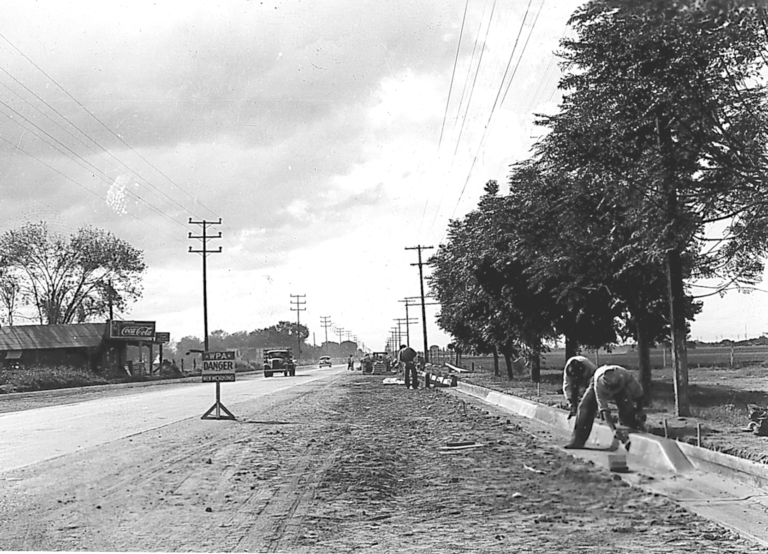
Though paved by 1940, the Guide to Touring Arizona produced by the WPA government program advised motorists to advised to “not leave trunk highways without a full supply of gasoline and oil, and without information on distance to the next filling station. It should not be assumed that every settlement shown on map has these supplies.”
U.S. 80 was assembled from a patchwork of existing routes, each with its own history and identity. AASHO was commissioned to streamline this network and create a less confusing highway system. The roadways that became U.S. 80 were known by many names, including Ocean-to-Ocean Highway, Dixie Overland Highway, Old Spanish Trail, Lee Highway, Jefferson Davis National Highway, Bankhead Highway, and Broadway of America.
U.S. 80’s impact on Arizona was profound. The Arizona Department of Transportation dubbed it the “Mother of Arizona Highways” for its economic influence on the cities and towns along its route. In the years following World War II, traffic on U.S. 80 even rivaled the legendary U.S. 66, cementing its role as a vital artery for commerce and travel in the Southwest.
The January 1956 issue of Arizona Highways dedicated to U.S 80 included an article with illustrated maps and 33 photos of landmarks such as the Chiricahua Mountains, Colossal Cave, and the Yuma Territorial Prison.
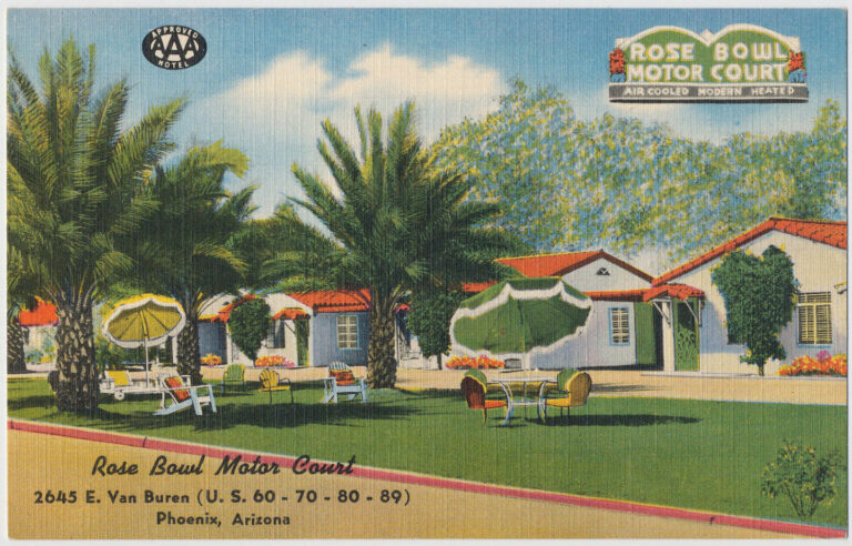
From Lordsburg, New Mexico, U.S. 80’s route through Arizona headed south to Douglas, west to Bisbee then north through Tombstone, Tucson, and Florence toward Mesa, where it was funneled on to Main Street along with U.S. 60, 70, and 89. From there it continued to Apache Boulevard in Tempe, using the Mill Avenue Bridge to cross the Salt River. It entered Phoenix on Van Buren Street, which by the 1940s was known as “motel row”. Colorfully named and themed motels offered lodging to travelers.
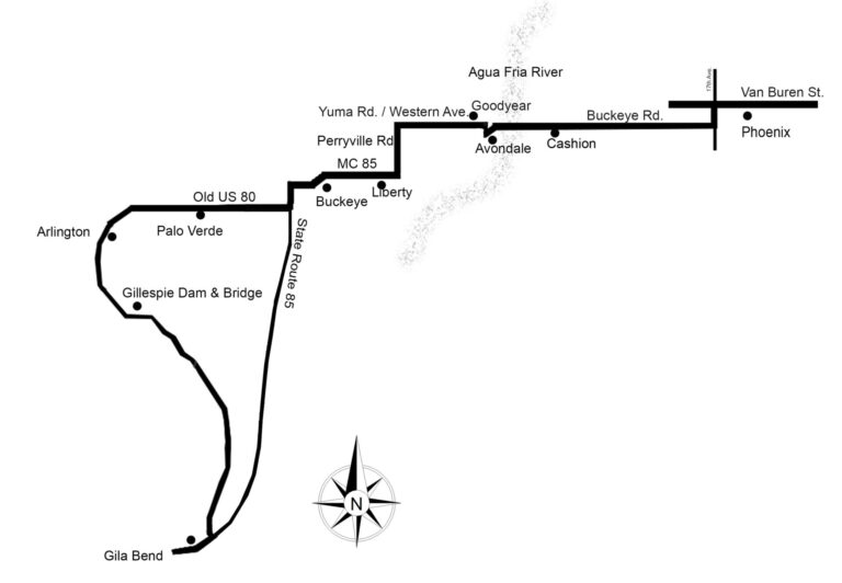
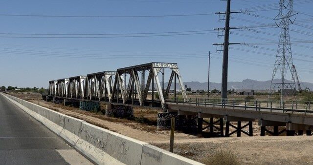
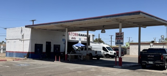
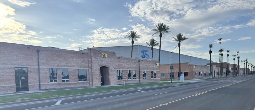
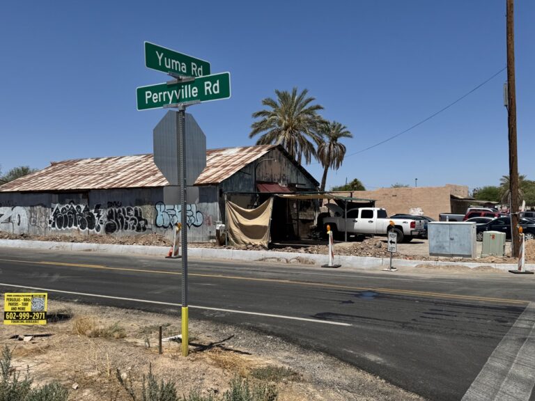
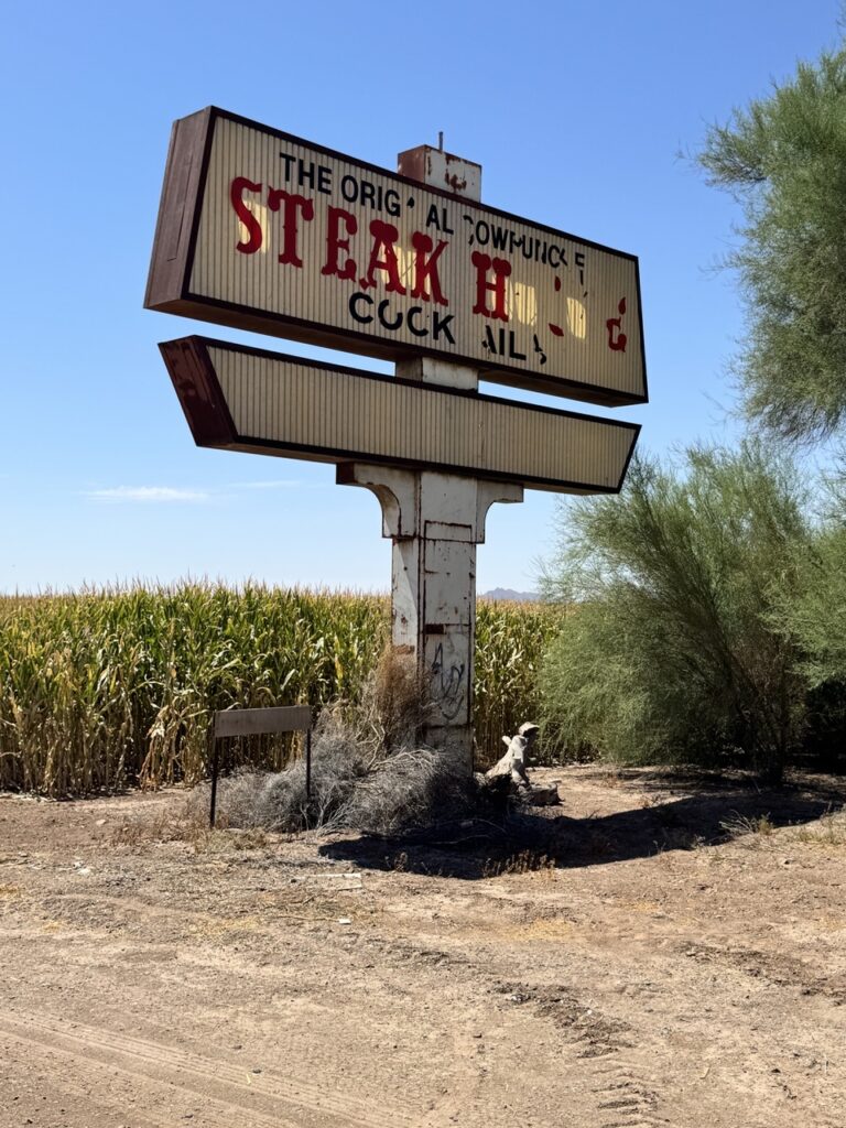
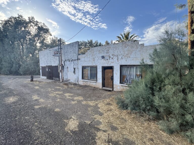
The 1940 WPA Arizona travel guide described a bucolic scene of farms growing alfalfa, melons, cotton, grain, and lettuce as motorists entered the Southwest Valley. Twelve miles west of Phoenix, travelers would find a store, garage, service station and cabins in Cashion before crossing cottonwood forests lining the Agua Fria riverbed. Buckeye Road was the U.S. 80s route through Cashion and Avondale and into Goodyear. The route west to Buckeye varied over the years. Wilbur Kaufman in his book Liberty, Arizona: Remembering Our Past recalls that in the late 1920s U.S 80 followed Yuma Road west to Perryville Road where it turned south to connect with today’s MC 85. There on the southeast corner was Tamarack Corner which had a service station, toilets, and a kiosk for selling drinks to travelers.